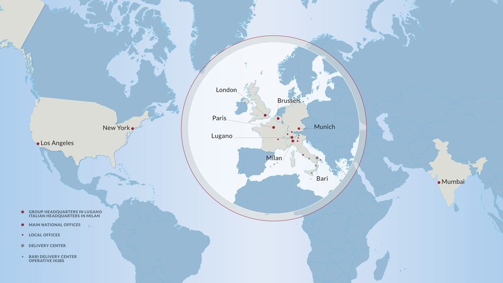
Fincons Group is an IT business consulting company that has been designing the digital future of leading companies on international markets for 40 years. Fincons Group built its reputation on foreseeing and interpreting new business models and the rapid evolution of IT systems by building a complete range of services: from research and consulting to design and development, from system integration of leading vendor software solutions right up to application management, supporting clients step by step along their digital transformation journey. Fincons is a multinational with over 2,600 people and several offices worldwide (in Italy, Switzerland, Germany, France, the United Kingdom, Belgium and the USA), but above all a Family Company where the founders play a strategic role with commitment and passion, grounding the company in the same principles of a united and caring family.
We firmly believe in the value of cooperation and in the contribution that every idea and intuition can bring. We believe that everyone’s effort can make a difference. Transforming knowledge into a strategic resource is our company mission, and we pursue it with the help of our most strategic asset: our people.
To support our customer, we are looking for a:
Geospatial and Image Analyst
TASKS
- Produce and develop geospatial intelligence products through the analysis of imagery and geospatial data.
- Support the client’s business units with geospatial and imagery analysis activities, ensuring delivery within agreed deadlines.
- Conduct imagery interpretation and analysis to identify relevant objects, facilities, activities, and areas of interest.
- Determine the location, dimensions, and characteristics of objects using geospatial and remote sensing techniques.
- Identify patterns of life, facilities, objects, and activities related to illegal migration, cross-border crime, and border security monitoring.
- Maintain and update databases of geographic information extracted from imagery, ensuring data accuracy, consistency, and reliability.
- Prepare reports, intelligence assessments, and supporting documentation based on geospatial and imagery analysis findings.
- Provide actionable insights and analytical support to inform decision-making processes related to border management and operational activities.
- Participate in meetings and coordination activities with project teams and stakeholders.
- Advise on best practices, methodologies, processes, and procedures related to geospatial intelligence and imagery analysis.
REQUIREMENTS
- Expertise in exploiting and analyzing remote-sensed electro-optical imagery.
- Experience in exploiting raw imagery and analyzing the results.
- Expertise in creating completely fused intelligence products identifying key activities and or points of interest by analyzing images.
- Expertise in producing derived geospatial datasets, products and analysis reports.
- Working knowledge of image exploitation software and analysis tools including ArcGIS and other software.
- Working knowledge in full motion video exploitation.
- Able to cope with fast-changing technologies.
Language knowledge: English B2+
Office: Warsaw, Poland. On-site presence required 3 days/per week.
Minimum level of qualification: Bachelor’s degree and 5 years of experience.
If interested, please apply!
Our personnel search is addressed to candidates of all genders.
The data will be processed and stored exclusively for the purposes of this or future selections, in compliance with the Federal Data Protection Law (LPD) and guaranteeing the rights referred to in art. 13 Legislative Decree 196/03 and EU regulation 679/2016 (GDPR)
#LI-EC1
Source: Fincons Group job board (JazzHR).
Report this job
Wrongly listed? Tell us why.